David Rumsey
ArcGIS, QGIS or web apps can simply use this map with web map services. WMTS, TileJSON or XYZ tiles are provided for quick access to processed maps.
Sign in to get links.
Sign in to download GeoTIFF.
Overlay & compare
iiif viewer, iiif info json
Website
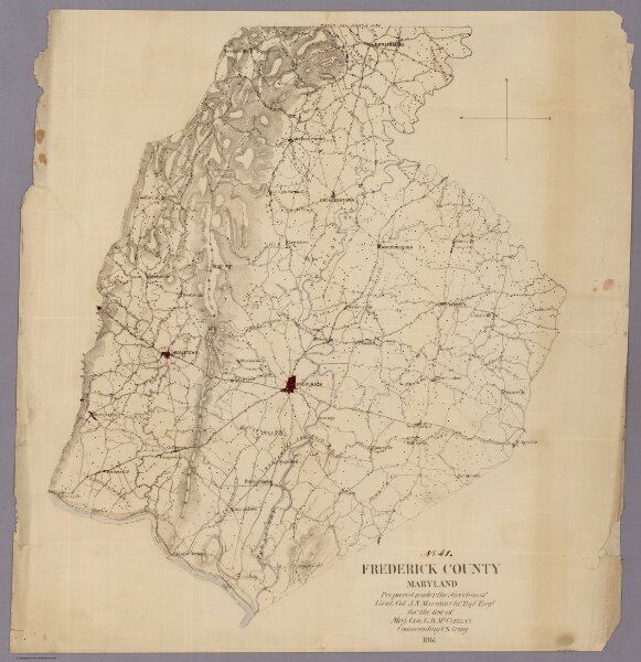
Frederick County Maryland
3840.000
pilot
Frederick County Maryland Prepared under the direction of Lieut. Col. J.N. Macomb Chf. Topl Engr for the use of Maj. Gen. G.B. McClellan Commanding U.S. Army 1861.
1861
Hergesheimer, Edwin
U.S. Coast Survey
42 × 46 cm
1 : 125000