David Rumsey
ArcGIS, QGIS or web apps can simply use this map with web map services. WMTS, TileJSON or XYZ tiles are provided for quick access to processed maps.
Sign in to get links.
Sign in to download GeoTIFF.
Overlay & compare
iiif viewer, iiif info json
Website
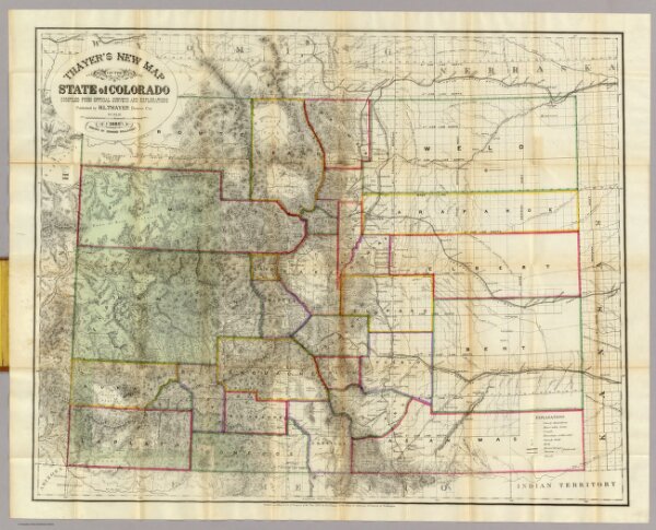
Thayer's New Map Of The State of Colorado.
4787.001
pilot4
Thayer's New Map Of The State of Colorado Compiled From Official Surveys And Explorations. Published by H.L. Thayer, Denver Col. 1880. Established in 1871. Drawn By Edward Rollandet. Entered ... 1878 by H.L Thayer ... Washington.
1880
Thayer, H. L.
H.L. Thayer
80 × 64 cm
1 : 887040