David Rumsey
ArcGIS, QGIS or web apps can simply use this map with web map services. WMTS, TileJSON or XYZ tiles are provided for quick access to processed maps.
Sign in to get links.
Sign in to download GeoTIFF.
Overlay & compare
iiif viewer, iiif info json
Website
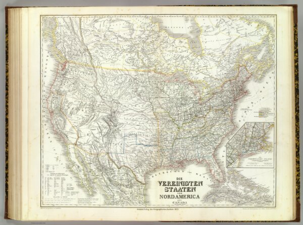
Vereinigten Staaten von N. America.
2077.061
pilot4
Die Vereinigten Staaten von Nord America nebst Canada. Neue berichtigte Ausgabe. Bearbeitet and gezeichnet von H. Kiepert. Situation und Schrift gestochen von C.J. Madel, Terrain von W. Weiler. Weimar, Verlag des Geographischen Instituts, 1855.
1855
1856
Kiepert, Heinrich, 1818-1899
Weimar Geo Inst.
64 × 53 cm
1 : 8000000