David Rumsey
ArcGIS, QGIS or web apps can simply use this map with web map services. WMTS, TileJSON or XYZ tiles are provided for quick access to processed maps.
Sign in to get links.
Sign in to download GeoTIFF.
Overlay & compare
iiif viewer, iiif info json
Website
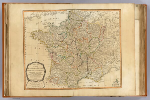
France, governments.
2310.024
pilot4
A new map of the kingdom of France divided into its governments with all the post roads according to the latest description published by order of the Post-master general. London, Published 12th May 1794 by Laurie & Whittle, No. 53 Fleet Street.
1794
1804
Robert Laurie & James Whittle
Laurie & Whittle
58 × 47 cm
1 : 2250000