David Rumsey
ArcGIS, QGIS or web apps can simply use this map with web map services. WMTS, TileJSON or XYZ tiles are provided for quick access to processed maps.
Sign in to get links.
Sign in to download GeoTIFF.
Overlay & compare
iiif viewer, iiif info json
Website
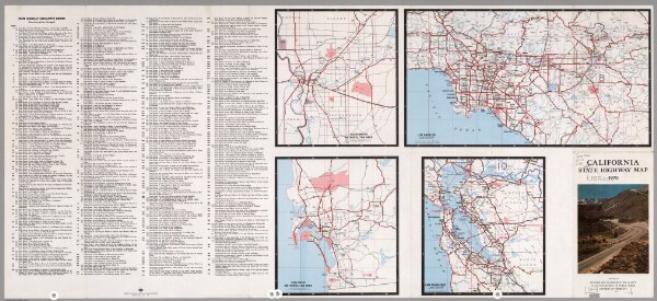
(Verso) State Highway Map, California, 1970.
6354.019
pilot2
1970
1918
California Department of Public Works, Division of Highways
California Department of Transportation (CALTRANS)
57 × 102 cm