David Rumsey
ArcGIS, QGIS or web apps can simply use this map with web map services. WMTS, TileJSON or XYZ tiles are provided for quick access to processed maps.
Sign in to get links.
Sign in to download GeoTIFF.
Overlay & compare
iiif viewer, iiif info json
Website
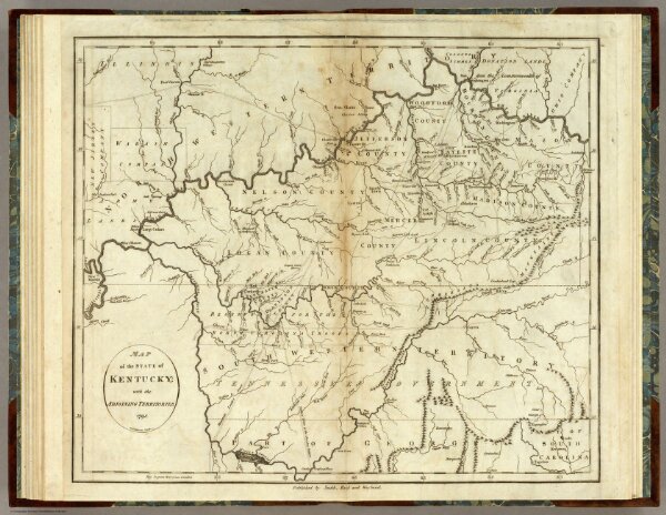
State of Kentucky.
0845.015
pilot4
Map of the State of Kentucky; with the Adjoining Territories. 1795. A. Anderson sculp. Published by Smith, Reid and Wayland.
1796
Winterbotham, W.
John Reid
44 × 38 cm
1 : 1500000