David Rumsey
ArcGIS, QGIS or web apps can simply use this map with web map services. WMTS, TileJSON or XYZ tiles are provided for quick access to processed maps.
Sign in to get links.
Sign in to download GeoTIFF.
Overlay & compare
iiif viewer, iiif info json
Website
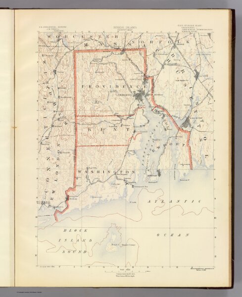
Contents: Rhode Island atlas.
4834.001
pilot3
Rhode Island county map. U.S. Geological Survey, J.W. Powell, Director. State of Rhode Island ... commissioners. Surveyed 1885-1888. Geo. H. Walker & Co., Boston & N.Y., edition of 1891.
1891
1890
Geological Survey (U.S.)
J.C. Thompson
35 × 49 cm
1 : 250000