David Rumsey
ArcGIS, QGIS or web apps can simply use this map with web map services. WMTS, TileJSON or XYZ tiles are provided for quick access to processed maps.
Sign in to get links.
Sign in to download GeoTIFF.
Overlay & compare
iiif viewer, iiif info json
Website
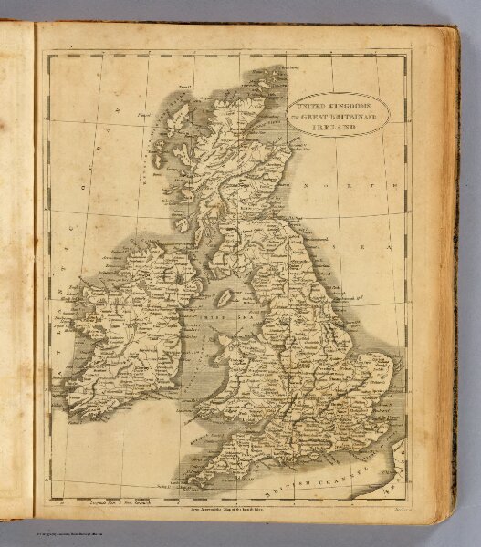
United Kingdoms.
0028.004
pilot4
United Kingdoms of Great Britain and Ireland. From Arrowsmith's map of the British Isles. Hooker sc. (Boston: Published by Thomas & Andrews. 1812)
1812
Arrowsmith, Aaron
Thomas & Andrews
20 × 26 cm
1 : 4500000