David Rumsey
ArcGIS, QGIS or web apps can simply use this map with web map services. WMTS, TileJSON or XYZ tiles are provided for quick access to processed maps.
Sign in to get links.
Sign in to download GeoTIFF.
Overlay & compare
iiif viewer, iiif info json
Website
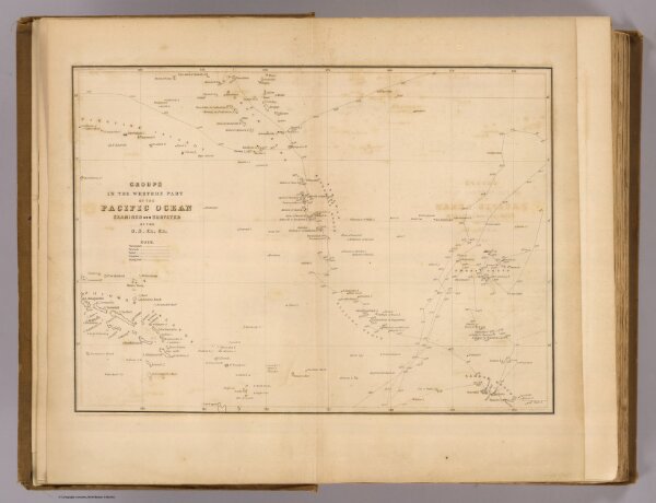
Western Pacific Ocean.
4442.060
pilot4
Groups in the western part of the Pacific Ocean examined and surveyed by the U.S. Ex. Ex. (Philadelphia: Lea & Blanchard. 1845)
1845
United States Exploring Expedition (1838-1842)
Lea & Blanchard
30 × 22 cm
1 : 14800000