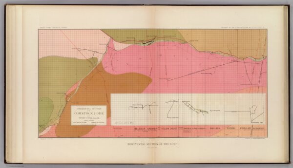
Horizontal Section of the Comstock Lode at the Sutro Tunnel Level (South End).
Identifier
1566.007
Collection
pilot3
Description
Horizontal Section of the Comstock Lode at the Sutro Tunnel Level (1900 ft.) and below. Horizontal Section of the Lode. South End. United States Geological Survey. Geology of the Comstock Lode, &c. Atlas Sheet IX. Mapping by R.H. Stretch. Geology by G.F. Becker, Geologist in Charge. Julius Bien & Co. Lith. N.Y.