David Rumsey
ArcGIS, QGIS or web apps can simply use this map with web map services. WMTS, TileJSON or XYZ tiles are provided for quick access to processed maps.
Sign in to get links.
Sign in to download GeoTIFF.
Overlay & compare
iiif viewer, iiif info json
Website
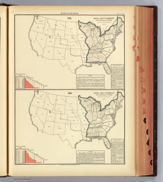
13. 1790, 1800 area, settlement, territorial divisions.
4521.013
pilot4
1790. Area, settlement, and territorial divisions. 1800. Area, settlement, and territorial divisions. Copyright, 1883, by Charles Scribner's Sons.
1883
Gannett, Henry, 1846-1914; Hewes, Fletcher W.; United States. Census Office
Charles Scribner's Sons
31 × 43 cm
1 : 18000000