David Rumsey
ArcGIS, QGIS or web apps can simply use this map with web map services. WMTS, TileJSON or XYZ tiles are provided for quick access to processed maps.
Sign in to get links.
Sign in to download GeoTIFF.
Overlay & compare
iiif viewer, iiif info json
Website
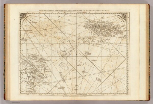
Jamaica, Cape Gracias a Dios.
4723.017
pilot4
The island of Jamaica and Cape Gracias a Dios with the banks. By Thos. Jefferys, Geographer to His Majesty. London, printed for Robt. Sayer, Map and Printseller, no. 53 in Fleet Street, as the Act directs 20 Feby. 1775.
1775
1788
Jefferys, Thomas
Sayer and Bennett
63 × 48 cm
1 : 1560000