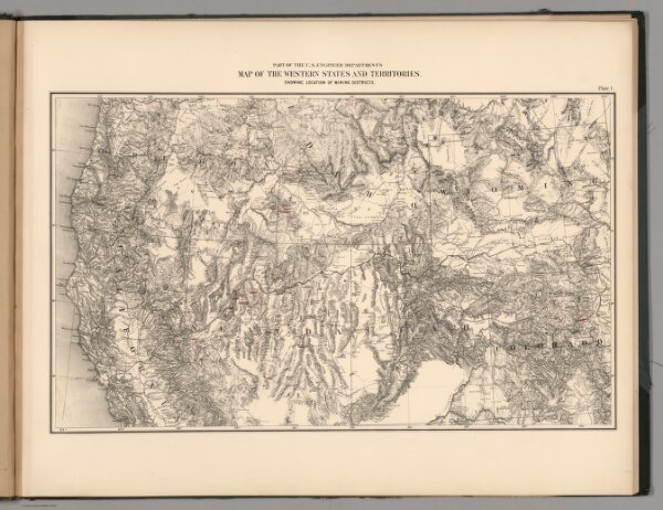
Plate 1. Part of the U.S. Engineer Department's Map of the Western States and Territories, Showing Location of Mining Districts.
ArcGIS, QGIS or web apps can simply
use this map with web map services.
WMTS, TileJSON or XYZ tiles
are provided for quick access to processed maps.
Sign in to get links.