David Rumsey
ArcGIS, QGIS or web apps can simply use this map with web map services. WMTS, TileJSON or XYZ tiles are provided for quick access to processed maps.
Sign in to get links.
Sign in to download GeoTIFF.
Overlay & compare
iiif viewer, iiif info json
Website
United States.
5028.004
pilot4
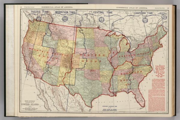
Commercial Atlas of America. Rand McNally, Standard Map of United States.
1924
Rand McNally and Company
70 × 50 cm
1 : 6970000