David Rumsey
ArcGIS, QGIS or web apps can simply use this map with web map services. WMTS, TileJSON or XYZ tiles are provided for quick access to processed maps.
Sign in to get links.
Sign in to download GeoTIFF.
Overlay & compare
iiif viewer, iiif info json
Website
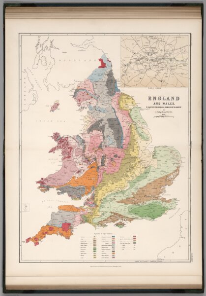
England and Wales to Illustrate the Geological Formation of the Country.
6919.077
pilot2
England and Wales to Illustrate the Geological Formation of the Country by G. Phillips Bevan, F.S.S., F.G.S., 1881.
1881
1882
Bevan, G. Phillips
W. &. A.K. Johnston
46 × 63 cm
1 : 1267200