David Rumsey
ArcGIS, QGIS or web apps can simply use this map with web map services. WMTS, TileJSON or XYZ tiles are provided for quick access to processed maps.
Sign in to get links.
Sign in to download GeoTIFF.
Overlay & compare
iiif viewer, iiif info json
Website
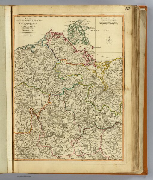
Brandenburg, W. Pomerania.
2310.044
pilot4
A map of the Electorate of Brandenburg, including Western Pomerania, and the greatest part of the dutchies of Mecklenburg and Magdeburg. London, Published by Laurie & Whittle, No. 53, Fleet Street, as the act directs 12th May, 1794.
1794
1804
Robert Laurie & James Whittle
Laurie & Whittle
39 × 50 cm
1 : 660000