David Rumsey
ArcGIS, QGIS or web apps can simply use this map with web map services. WMTS, TileJSON or XYZ tiles are provided for quick access to processed maps.
Sign in to get links.
Sign in to download GeoTIFF.
Overlay & compare
iiif viewer, iiif info json
Website
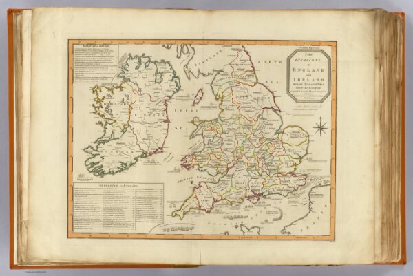
Invasions England, Ireland.
2310.012
pilot4
The invasions of England and Ireland with all their civil wars since the conquest. Compiled & drawn by J. Enouy, Geographer. London, Published by Laurie & Whittle, Fleet Street, 15th Septr. 1797. 2d edition, Augt. 12th, 1801. S. Neele sculpt.
1801
1804
Robert Laurie & James Whittle
Laurie & Whittle
58 × 43 cm
1 : 1770000