David Rumsey
ArcGIS, QGIS or web apps can simply use this map with web map services. WMTS, TileJSON or XYZ tiles are provided for quick access to processed maps.
Sign in to get links.
Sign in to download GeoTIFF.
Overlay & compare
iiif viewer, iiif info json
Website
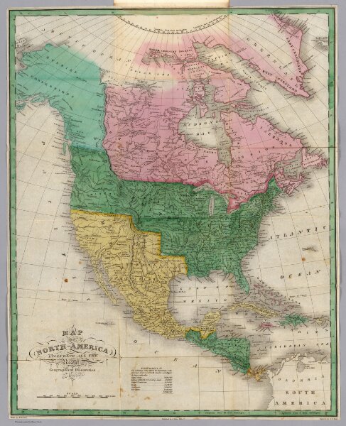
North America.
0280.001
pilot4
Map of North America including All the Recent Geographical Discoveries, 1827. Drawn by D.H. Vance. Published by A. Finley, Philada. Engraved by J.H. Young.
1827
Finley, Anthony
Anthony Finley
43 × 54 cm
1 : 17243000