David Rumsey
ArcGIS, QGIS or web apps can simply use this map with web map services. WMTS, TileJSON or XYZ tiles are provided for quick access to processed maps.
Sign in to get links.
Sign in to download GeoTIFF.
Overlay & compare
iiif viewer, iiif info json
Website
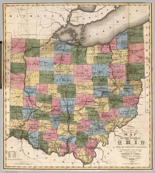
State Of Ohio
4908.002
missinglocation
Map Of The State Of Ohio From the latest & best Authorities; Including the Census of 1830. Engraved by A. Reed, East Windsor Connecticut; 1831. Published by Silas Andrus, Hartford Con.
1831
Kilbourne, J.
Silas Andrus
41 × 45 cm
1 : 950000