David Rumsey
ArcGIS, QGIS or web apps can simply use this map with web map services. WMTS, TileJSON or XYZ tiles are provided for quick access to processed maps.
Sign in to get links.
Sign in to download GeoTIFF.
Overlay & compare
iiif viewer, iiif info json
Website
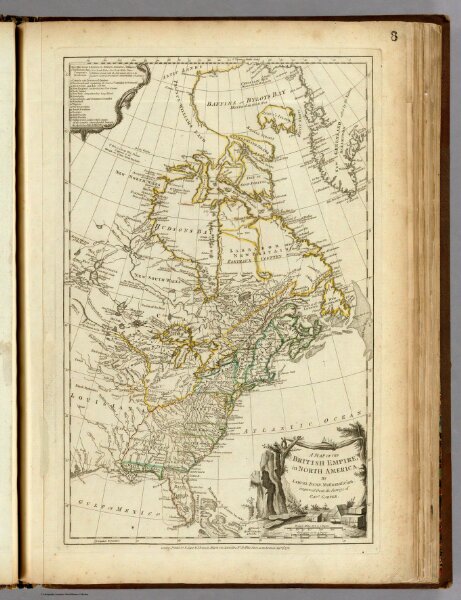
A Map Of The British Empire, in North America.
0346.010
pilot2
A Map Of The British Empire, in North America. By Samuel Dunn, Mathematician, improved from the Surveys of Capt. Carver. London. Printed for R. Sayer & J. Bennett ... Augst. 17th, 1776.
1776
Jefferys, Thomas
Sayer and Bennett
31 × 49 cm
1 : 13000000