David Rumsey
ArcGIS, QGIS or web apps can simply use this map with web map services. WMTS, TileJSON or XYZ tiles are provided for quick access to processed maps.
Sign in to get links.
Sign in to download GeoTIFF.
Overlay & compare
iiif viewer, iiif info json
Website
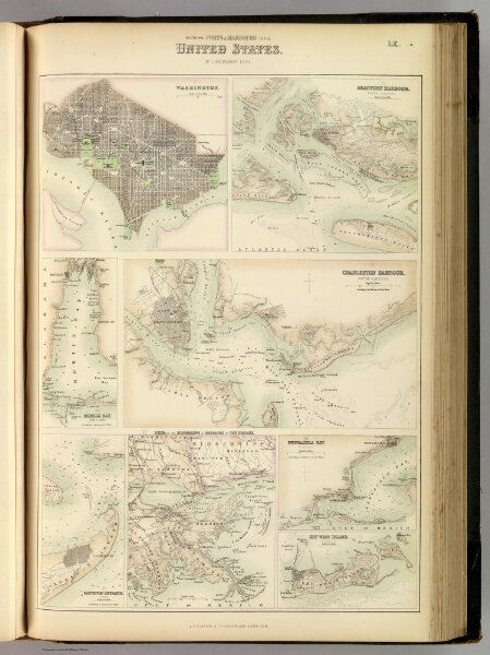
Southern Ports & Harbours in the United States.
3007.062
pilot4
Southern Ports & Harbours in the United States. By J. Bartholomew, F.R.G.S. (with) eight maps. LXa. A. Fullarton & Co. London and Edinburgh.
1872
Fullarton, A. & Co.
A. Fullarton & Co.
30 × 46 cm