David Rumsey
ArcGIS, QGIS or web apps can simply use this map with web map services. WMTS, TileJSON or XYZ tiles are provided for quick access to processed maps.
Sign in to get links.
Sign in to download GeoTIFF.
Overlay & compare
iiif viewer, iiif info json
Website
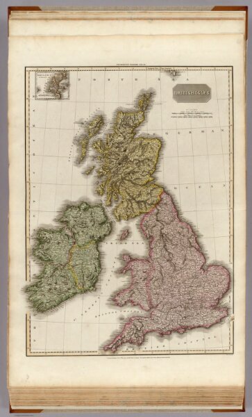
British Isles.
0732.006
pilot4
British Isles. (with inset map) Shetland Islands. Neele sc. 352 Strand London: published Novr. 15th. 1812, by Cadell & Davies, Strand, & Longman, Hurst, Rees, Orme, & Brown, Paternoster Row.
1812
1815
Pinkerton, John, 1758-1826
Longman, Hurst, Rees, Orme, and Brown
52 × 71 cm
1 : 1680000