David Rumsey
ArcGIS, QGIS or web apps can simply use this map with web map services. WMTS, TileJSON or XYZ tiles are provided for quick access to processed maps.
Sign in to get links.
Sign in to download GeoTIFF.
Overlay & compare
iiif viewer, iiif info json
Website
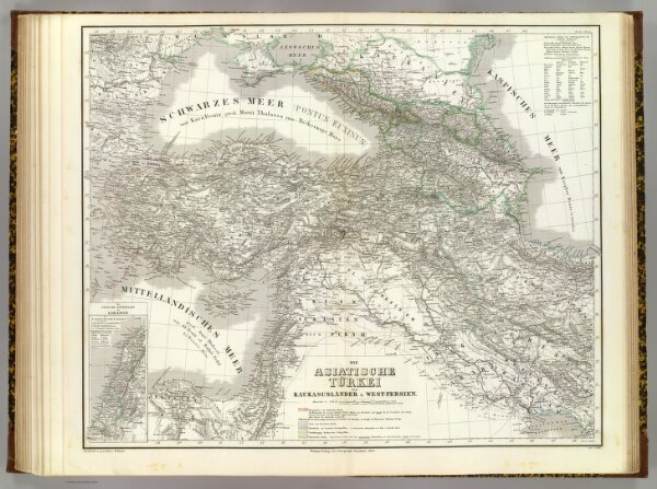
Turkei.
2077.044
pilot4
Die Asiatische Turkei, die Kaukasuslander u. West-Persien. (with) Das Syrische Kustenland am Libanon. Bearbeitet u. gezeichnet v. H. Kiepert. Gest. v. E. Wibel (i.e. Weibl). Weimar, Verlag des Geograph. Instituts, 1853.
1853
1856
Kiepert, Heinrich, 1818-1899
Weimar Geo Inst.
66 × 54 cm
1 : 3600000