David Rumsey
ArcGIS, QGIS or web apps can simply use this map with web map services. WMTS, TileJSON or XYZ tiles are provided for quick access to processed maps.
Sign in to get links.
Sign in to download GeoTIFF.
Overlay & compare
iiif viewer, iiif info json
Website
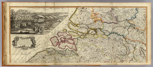
Netherlands (north)
2310.019
default
A new map of the Netherlands or Low Countries, with the south part of the provinces of Holland, Utrecht, & Gelders and the whole of Zeeland. (North half). Published 12th May 1794 by Laurie & Whittle, No. 53 Fleet Street, London.
1794
1804
Robert Laurie & James Whittle
Laurie & Whittle
119 × 49 cm
1 : 250000