David Rumsey
ArcGIS, QGIS or web apps can simply use this map with web map services. WMTS, TileJSON or XYZ tiles are provided for quick access to processed maps.
Sign in to get links.
Sign in to download GeoTIFF.
Overlay & compare
iiif viewer, iiif info json
Website
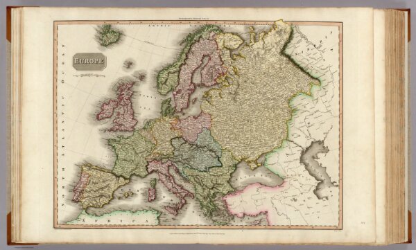
Europe.
0732.005
pilot4
Europe. Drawn under the direction of Mr. Pinkerton by L. Hebert. Neele sc. 352 Strand. London: published Sepr. 24th. 1814, by Cadell & Davies, Strand & Longman, Hurst, Rees, Orme, & Brown, Pater-noster Row.
1814
1815
Pinkerton, John, 1758-1826
Longman, Hurst, Rees, Orme, and Brown
70 × 53 cm
1 : 8400000