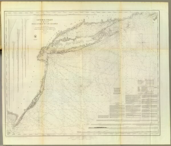
General chart of the coast from Gay Head to Cape Henlopen. From a trigonometrical survey under the direction of F.R. Hassler and A.D. Bache, Superintendents of the Survey of the Coast of the United States. Published in 1852. A.D. Bache, Superintendent. Reduction for engraving by J. Farley asst., W.M.C. Fairfax asst., C. Mahon, J.J. Ricketts & J. Lambert draughtsmen. Views by J. Farley asst. Topography engraved by F. Dankworth & O.A. Lawson. Lettering by John Knight. Views by O.A. Lawson. Soundings by J. Knight & W. Smith. Sections by G. McCoy & O.A. Lawson. Electrotype copy no. 2 by G. Mathiot, U.S.C.S. (with logo) U.S. Coast Survey Office.