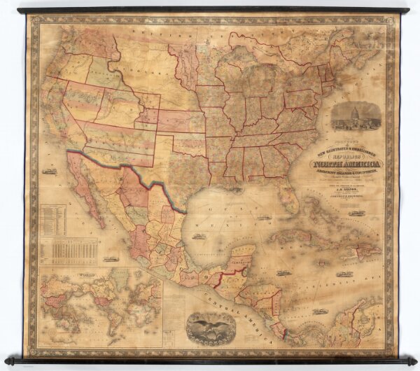
Johnson's New Illustrated & Embellished County Map Of The Republics Of North America With The Adjacent Islands & Countries, Compiled Drawn & Engraved From U. States Land & Coast Surveys, British Admiralty & other Reliable Sources. Under the Direction of A.J. Johnson. Published by J.H. Colton, 172, William Street, New York, Edition For Johnson & Browning. Richmond VA. 1860. Entered ... 1860 by J.H. Colton ... New York. Map Designed by A.J. Johnson. Engraved by D.G. Johnson, J.H. Goldthwait, W.S. Barnard, Wm. Wright, G. Rae Smith, F.H. King, James Duthie, J.L. White. (inset) Map Of The World on Mercator's Projection ...