David Rumsey
ArcGIS, QGIS or web apps can simply use this map with web map services. WMTS, TileJSON or XYZ tiles are provided for quick access to processed maps.
Sign in to get links.
Sign in to download GeoTIFF.
Overlay & compare
iiif viewer, iiif info json
Website
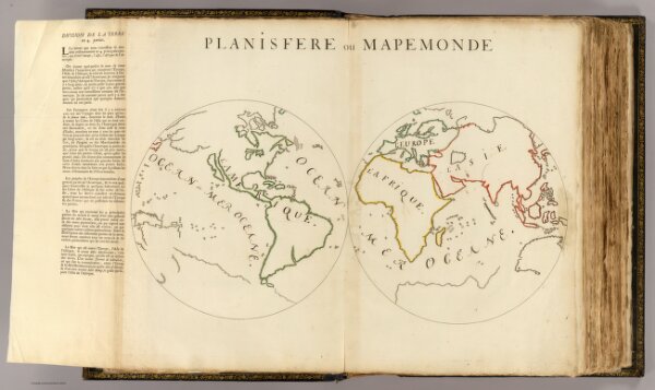
Planisfere en 4 parties.
3658.003
pilot4
Planisfere ou Mapemonde. Division de la Terre en 4. parties. (1693)
1693
Dangeau, abbe de, 1643-1723
No Publisher
66 × 36 cm
1 : 45000000