David Rumsey
ArcGIS, QGIS or web apps can simply use this map with web map services. WMTS, TileJSON or XYZ tiles are provided for quick access to processed maps.
Sign in to get links.
Sign in to download GeoTIFF.
Overlay & compare
iiif viewer, iiif info json
Website
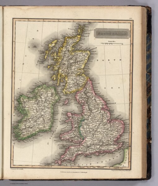
British Islands
5960.007
pilot2
British Islands. Drawn by A. Arrowsmith. Engraved by Sy. Hal,. 14 Bury Stt. Bloomsby. Published, 1817, by A. Constable & Co. Edinburgh.
1817
Arrowsmith, Aaron
Longman & Compy
21 × 26 cm
1 : 4500000