David Rumsey
ArcGIS, QGIS or web apps can simply use this map with web map services. WMTS, TileJSON or XYZ tiles are provided for quick access to processed maps.
Sign in to get links.
Sign in to download GeoTIFF.
Overlay & compare
iiif viewer, iiif info json
Website
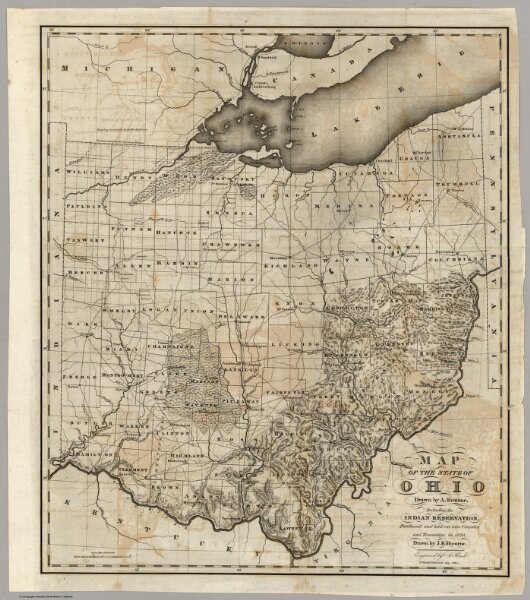
Map Of The State Of Ohio
0086.000
pilot2
Map Of The State Of Ohio. Drawn by A. Bourne. Including the Indian Reservations, Purchased and laid out into Counties and Townships in 1820, Drawn by J. Kilbourne. Engraved by A. Reed.
1820
Reed, Abner
American Antiquarian Society
42 × 49 cm
1 : 950400