David Rumsey
ArcGIS, QGIS or web apps can simply use this map with web map services. WMTS, TileJSON or XYZ tiles are provided for quick access to processed maps.
Sign in to get links.
Sign in to download GeoTIFF.
Overlay & compare
iiif viewer, iiif info json
Website
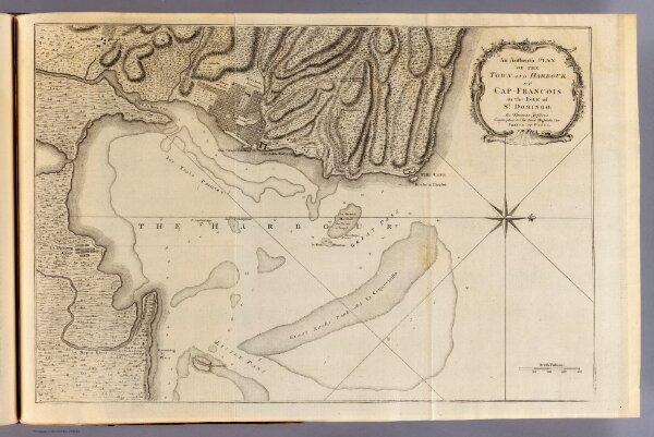
Cap Francois.
4796.011
pilot3
An authentic plan of the town and harbour of Cap Francois in the isle of St. Domingo. By Thomas Jefferys, Geographer to His Royal Highness, the Prince of Wales. (1760)
1760
Jefferys, Thomas
Thomas Jefferys
49 × 33 cm
1 : 14000