David Rumsey
ArcGIS, QGIS or web apps can simply use this map with web map services. WMTS, TileJSON or XYZ tiles are provided for quick access to processed maps.
Sign in to get links.
Sign in to download GeoTIFF.
Overlay & compare
iiif viewer, iiif info json
Website
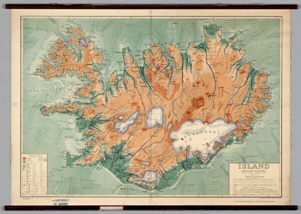
Iceland -- Physical-Political
7050.000
pilot2
Island, Landslagsuppdrattur (Fysisk Kort, Physical Map).
1928
Danish General Staff
Utgefandi
111 × 77 cm
1 : 500000