David Rumsey
ArcGIS, QGIS or web apps can simply use this map with web map services. WMTS, TileJSON or XYZ tiles are provided for quick access to processed maps.
Sign in to get links.
Sign in to download GeoTIFF.
Overlay & compare
iiif viewer, iiif info json
Website
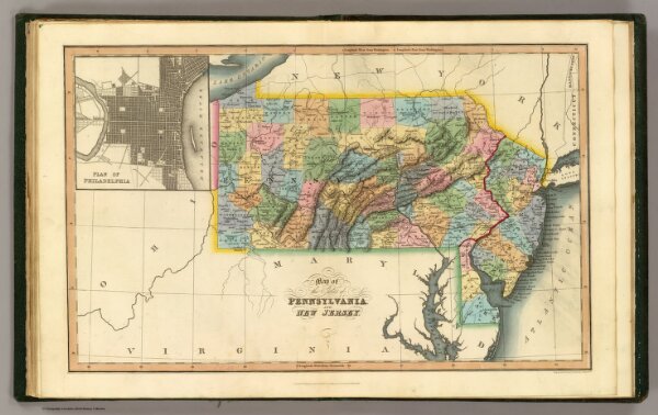
Penn., N.J.
4966.013
pilot4
Map of the states of Pennsylvania and New Jersey. (with) Plan of Philadelphia. London, published March 15, 1832 by I.T. Hinton & Simpkin & Marshall. Engraved & printed by Fenner Sears & Co. (1832)
1832
Simpkin & Marshall
Thomas Wardle
40 × 26 cm
1 : 2250000