David Rumsey
ArcGIS, QGIS or web apps can simply use this map with web map services. WMTS, TileJSON or XYZ tiles are provided for quick access to processed maps.
Sign in to get links.
Sign in to download GeoTIFF.
Overlay & compare
iiif viewer, iiif info json
Website
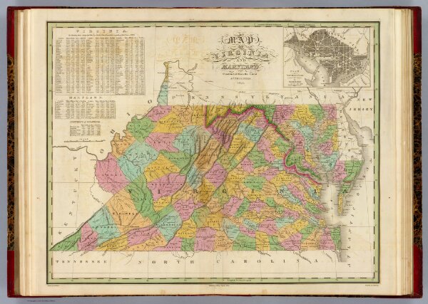
Map Of Virginia And Maryland.
0278.007
pilot4
Map Of Virginia And Maryland Contrusted from the Latest Authorities. 1825. (with) Plan Of Washington City & Georgetown. Drawn by D.H. Vance. Engraved by J.H. Young. Published by A. Finley Philada. 1824.
1826
Finley, Anthony
Anthony Finley
56 × 45 cm
1 : 1520000