David Rumsey
ArcGIS, QGIS or web apps can simply use this map with web map services. WMTS, TileJSON or XYZ tiles are provided for quick access to processed maps.
Sign in to get links.
Sign in to download GeoTIFF.
Overlay & compare
iiif viewer, iiif info json
Website
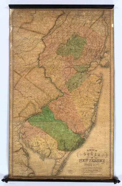
New Jersey.
2273.000
pilot3
A Map of the State of New Jersey With Part of the Adjoining States Compiled under the Patronage of the Legislature of Said State by Thomas Gordon, 1828.
1828
Tanner, Henry S.
Henry Tanner
83 × 140 cm
1 : 190000