David Rumsey
ArcGIS, QGIS or web apps can simply use this map with web map services. WMTS, TileJSON or XYZ tiles are provided for quick access to processed maps.
Sign in to get links.
Sign in to download GeoTIFF.
Overlay & compare
iiif viewer, iiif info json
Website
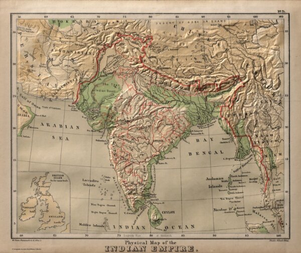
Physical Map of the Indian Empire.
2490.071
pilot2
Physical Map of the Indian Empire. W. Swan Sonnenschein & Allen's Plastic School Atlas. (inset) The British Isles on the same scale.
1880
Bevan, G.P.
Sonnenschein & Allen
28 × 25 cm
1 : 17700000