David Rumsey
ArcGIS, QGIS or web apps can simply use this map with web map services. WMTS, TileJSON or XYZ tiles are provided for quick access to processed maps.
Sign in to get links.
Sign in to download GeoTIFF.
Overlay & compare
iiif viewer, iiif info json
Website
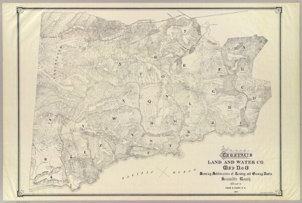
Tamalpais Land and Water Co. map.
5318.000
pilot3
Tamalpais Land and Water Co. Map no. 3 showing subdivisions of farming and grazing lands Sausalito Ranch. Surveyed by Chas. H. Clapp, C.E. 1892. Gus D. Avery, draughtsman.
1892
Tamalpais Land and Water Co.
97 × 69 cm
1 : 13000