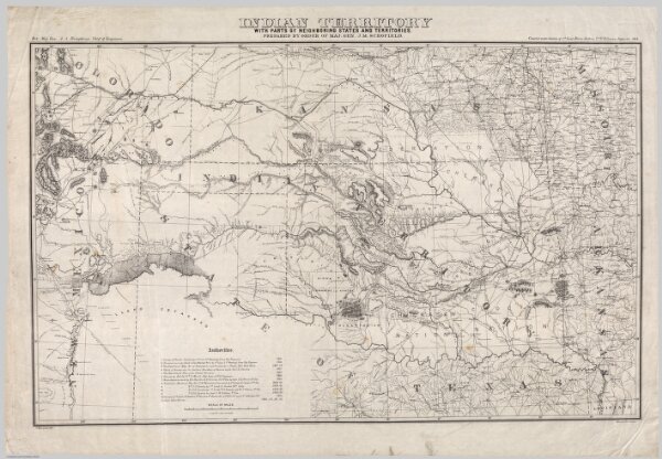
Indian Territory With Parts Of Neighboring States And Territories.
Identifier
3851.000
Collection
pilot4
Description
Indian Territory With Parts Of Neighboring States And Territories. Prepared By Order Of Maj. Gen. J.M. Schofield. Compiled under direction of 1st Lieut. Henry Jackson, 7th U.S. Cavalry, September 1869. Bvt. Maj. Gen. A.A. Humphreys, Chief of Engineers. Drawn by Ado Hunnius. J. Bien, photo-lith.