David Rumsey
ArcGIS, QGIS or web apps can simply use this map with web map services. WMTS, TileJSON or XYZ tiles are provided for quick access to processed maps.
Sign in to get links.
Sign in to download GeoTIFF.
Overlay & compare
iiif viewer, iiif info json
Website
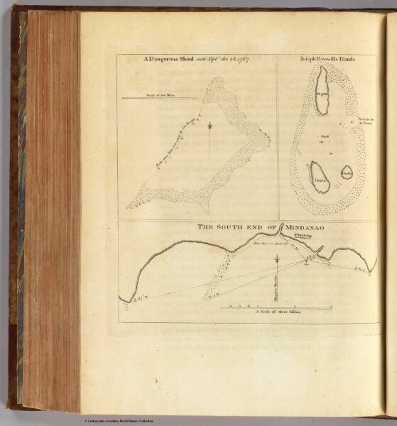
Dangerous shoal.
3403.018
missinglocation
A dangerous shoal seen Septr. the 28, 1767. (with) Joseph Freewills Islands. (with) The south end of Mindanao. (London: printed for W. Strahan; and T. Cadell in the Strand, MDCCLXXIII).
1773
Hawkesworth, John, 1715?-1773
W. Strahan and T. Cadell
19 × 19 cm
1 : 73000