David Rumsey
ArcGIS, QGIS or web apps can simply use this map with web map services. WMTS, TileJSON or XYZ tiles are provided for quick access to processed maps.
Sign in to get links.
Sign in to download GeoTIFF.
Overlay & compare
iiif viewer, iiif info json
Website
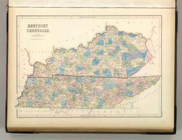
Kentucky and Tennessee.
2305.057
pilot4
Kentucky and Tennessee. Edinburgh, Published by A. &. C. Black. Drawn and Engraved by J. Bartholomew, Edinburgh
1854
Hughes, William
Adam & Charles Black
56 × 42 cm
1 : 1580000