David Rumsey
ArcGIS, QGIS or web apps can simply use this map with web map services. WMTS, TileJSON or XYZ tiles are provided for quick access to processed maps.
Sign in to get links.
Sign in to download GeoTIFF.
Overlay & compare
iiif viewer, iiif info json
Website
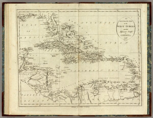
Map of the West Indies.
0845.020
pilot4
An Accurate Map of the West Indies with the Adjacent Coast of America. 1796. D. Martin Sculpt. Publish'd by J. Reid New York.
1796
Winterbotham, W.
John Reid
45 × 36 cm
1 : 8500000