David Rumsey
ArcGIS, QGIS or web apps can simply use this map with web map services. WMTS, TileJSON or XYZ tiles are provided for quick access to processed maps.
Sign in to get links.
Sign in to download GeoTIFF.
Overlay & compare
iiif viewer, iiif info json
Website
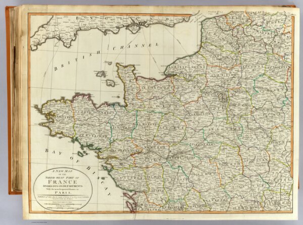
N.W. France.
2310.026
pilot4
A new map of the north-west part of France, divided into its departments, with the most frequented routes to Paris. Published 24th July, 1802 by Laurie & Whittle, No. 53 Fleet Street, London. Successors to the late Mr. Sayer.
1802
1804
Robert Laurie & James Whittle
Laurie & Whittle
79 × 60 cm
1 : 1000000