David Rumsey
ArcGIS, QGIS or web apps can simply use this map with web map services. WMTS, TileJSON or XYZ tiles are provided for quick access to processed maps.
Sign in to get links.
Sign in to download GeoTIFF.
Overlay & compare
iiif viewer, iiif info json
Website
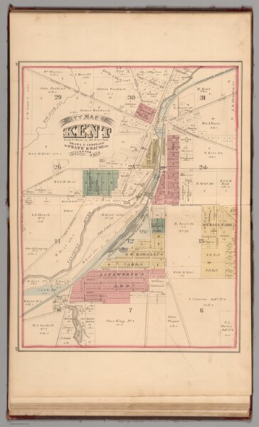
Kent, Ohio.
2870.040
pilot
City Map of Kent. Drawn and Compiled by Frank Krause CE. Cleveland, Ohio.
1874
Krause, Frank
L.H. Everts
42 × 52 cm
1 : 6336