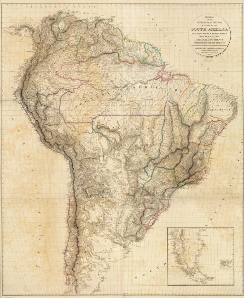
Outlines Of The Physical And Political Divisions Of South America: Delineated By A. Arrowsmith Partly From Scarce And Original Documents, Published Before The Year 1806 But Principally From Manuscript Maps & Surveys Made Between The Years 1771 And 1806, Corrected From Accurate Astronomical Observations To 1810. London, Published 4th January 1811 by A. Arrowsmith No. 10 Soho Square, Hydrographer to H.R.H. the Prince of Wales. Additions to 1814. Engraved by Edwd. Jones ... (inset map of the southern tip of South America).