David Rumsey
ArcGIS, QGIS or web apps can simply use this map with web map services. WMTS, TileJSON or XYZ tiles are provided for quick access to processed maps.
Sign in to get links.
Sign in to download GeoTIFF.
Overlay & compare
iiif viewer, iiif info json
Website
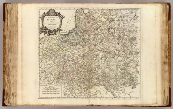
Pologne.
3353.071
pilot4
Le Royaume de Pologne, divise en ses duches et provinces, et subdivise en Palatinats. Par le Sr. Robert de Vaugondy Geographe ordinaire du Roi. Avec Privilege 1752.
1752
1757
Robert de Vaugondy, Gilles, 1688-1766
Les Auteurs
54 × 48 cm
1 : 2400000