David Rumsey
ArcGIS, QGIS or web apps can simply use this map with web map services. WMTS, TileJSON or XYZ tiles are provided for quick access to processed maps.
Sign in to get links.
Sign in to download GeoTIFF.
Overlay & compare
iiif viewer, iiif info json
Website
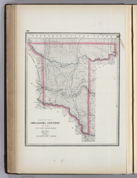
Oklahoma Country in the Indian Territory.
4727.046
missinglocation
Map of the Oklahoma Country in the Indian Territory. Geo. F. Cram, Engraver & Publisher, Chicago, Ill.
1889
Cram, George
George F. Cram
25 × 30 cm
1 : 579000