David Rumsey
ArcGIS, QGIS or web apps can simply use this map with web map services. WMTS, TileJSON or XYZ tiles are provided for quick access to processed maps.
Sign in to get links.
Sign in to download GeoTIFF.
Overlay & compare
iiif viewer, iiif info json
Website
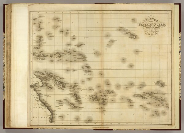
Islands in the Pacific Ocean.
4462.043
pilot4
Islands in the Pacific Ocean. Drawn and Engraved for Dr. Playfair's Geography. London Published May 12th, 1814 by T. Underwood, Fleet Street. Neele, sc. Strand.
1814
Playfair, Principal
T. Underwood
55 × 46 cm
1 : 17500000