David Rumsey
ArcGIS, QGIS or web apps can simply use this map with web map services. WMTS, TileJSON or XYZ tiles are provided for quick access to processed maps.
Sign in to get links.
Sign in to download GeoTIFF.
Overlay & compare
iiif viewer, iiif info json
Website
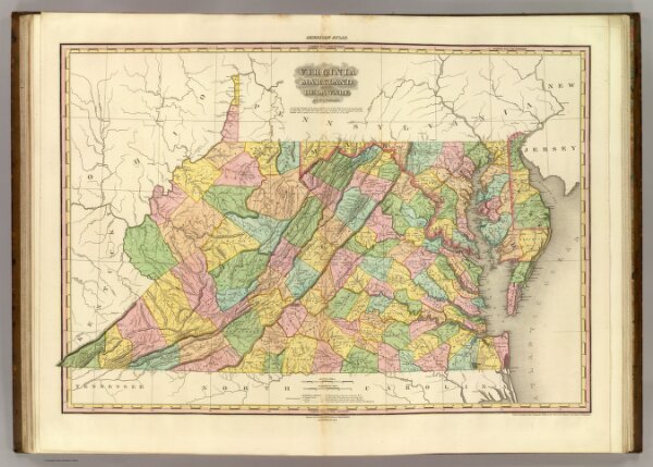
Virginia Maryland And Delaware.
2755.011
pilot4
Virginia Maryland And Delaware By H.S. Tanner. American Atlas. Engraved & Published by H.S. Tanner, Philadelphia. Improved To 1825. Entered ... 20th day of Decr. 1820, by H.S. Tanner ... Pennsylvania.
1825
Tanner, Henry S.
Henry Tanner
73 × 52 cm
1 : 1140480