David Rumsey
ArcGIS, QGIS or web apps can simply use this map with web map services. WMTS, TileJSON or XYZ tiles are provided for quick access to processed maps.
Sign in to get links.
Sign in to download GeoTIFF.
Overlay & compare
iiif viewer, iiif info json
Website
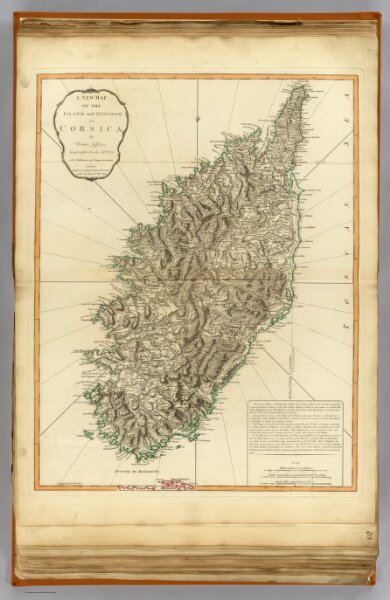
Corsica.
2310.035
pilot4
A new map of the island and kingdom of Corsica by Thomas Jefferys, Geographer to the King, with additions and improvements. London, Published by Laurie & Whittle, 53, Fleet Street, as the act directs 12th May, 1794
1794
1804
Robert Laurie & James Whittle
Laurie & Whittle
49 × 63 cm
1 : 310000