David Rumsey
ArcGIS, QGIS or web apps can simply use this map with web map services. WMTS, TileJSON or XYZ tiles are provided for quick access to processed maps.
Sign in to get links.
Sign in to download GeoTIFF.
Overlay & compare
iiif viewer, iiif info json
Website
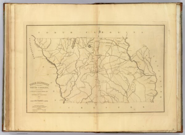
York District, South Carolina.
2792.028
pilot3
York District, South Carolina. Surveyed by Gordon Moore, 1820. Improved for Mills' Atlas, 1825. Engd. by H.S. Tanner & Assistants.
1825
Mills, Robert
Tanner/Lucas
60 × 39 cm
1 : 126720